


Sure, hurricane forecasts change. Suddenly, a stronger storm with higher winds is barreling along a forecast track that has shifted by 30, 40, or even 60 miles.
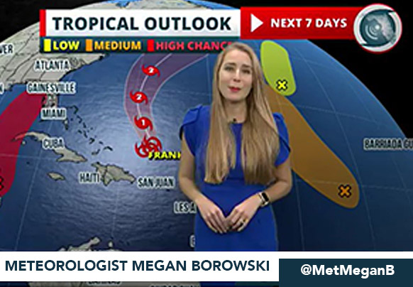
Megan Borowski, Senior Meteorologist for the Florida Public Radio Emergency Network, said storm science has come a long way – and is far more accurate than even a decade ago – but there are things property owners should keep in mind as they follow the weather during hurricane season.
"We can try to capture the laws of physics and everything that's going on in the atmosphere," Borowski said. "But there are going to be errors … especially as we go forward.
"A forecast five days out is going to be less accurate than a forecast maybe 48 hours in advance," she said. "So, stay tuned."
The Ingredients of Hurricane Predictions
What is the recipe for hurricanes? Borowski said meteorologists first look for upper-level atmospheric disturbances with vertical motion. Add warm ocean water (preferably 80 degrees or more), mix in winds moving at the same speed and in the same direction, and there you have it – the ingredients for a hurricane.
When that occurs, weather experts concerned about Florida look for these conditions over the Atlantic and rely on the National Hurricane Center's (NHC) two-day and seven-day tropical outlooks to highlight areas with this kind of development.
"Then, if we start to have storms developing, we'll monitor satellite data and radar data (to develop our forecasts for Florida)," said Borowski, whose network broadcasts its forecasts on the radio, its website, and elsewhere, including mobile app Florida Storms.
Helping enhance forecasts is data from satellites and hurricane hunter planes, which are sent into storms to gather critical atmospheric data that satellites can't provide.
At least a dozen weather organizations around the world produce models predicting a storm's track. They are called "spaghetti models" because these tracks usually vary and look like spaghetti when drawn on a map. Forecasters like Borowski generally use a consensus of these models for their official forecasts.
Why Do Forecasts Change?
Borowski said several factors account for changes to forecasts. First, forecasts become more accurate as more data becomes available. Data is collected from satellites and hurricane hunter planes by observing a storm's past behavior and by monitoring the wind, water, and other conditions along the storm’s projected path.
"Also, as the storm strengthens or weakens, that impacts how it gets steered," she said.
A new phenomenon called "rapid intensification" has developed in recent years and is affecting hurricane forecasting. Scientists are still trying to understand why hurricanes are becoming stronger more quickly these days.
Borowski said the phenomenon may be related to warmer ocean and sea temperatures, but it may also be related to less wind shear, which generally slows the progression of storms. The phenomenon is still being studied.
"We're right at the infancy of science with that," she said. "And models are not good at capturing it (the effect)."
Modern hurricane forecasting has saved countless lives and will continue to improve, but property owners must do their part to keep themselves and their families safe. Borowski's best advice is to stay informed.
"I would almost say expect the forecast to change. As we get closer to landfall, that's when we're really homing in on the target."
It all Comes Together in September
If you’ve lived in Florida for at least a couple of storm seasons, it feels like September is when everything picks up pace. That's because early September is when the waters around Florida have been heated enough over several summer months to support the development of tropical waves.
"We've had all summer for everything to align," Borowski said. "That's when the ocean and the atmosphere catch up to the fact we reached the summer solstice a couple months earlier. It's all about that lag time between astronomical summer and the ocean atmosphere complex catching up to that."
Statistically speaking, September 10 is the peak of hurricane season, based on decades of historical storm activity data. This is also when we celebrate Labor Day, which creates lingering memories for many Floridians to always have backup barbecue plans in case the weather doesn't cooperate for the last long weekend of the summer.
Who Can You Trust?
Staying connected with reliable information is a key part of hurricane preparedness. Borowski recommended the following sources for critical forecasts and info about hurricanes:
- National Hurricane Center
- Florida Storms app
- Florida Public Radio Emergency Network
- Florida Division of Emergency Management
- NOAA Weather Radio
The Broadcast Emergency Alerts and Communications Operations Network (BEACON), which is a new service, is available for use as of 2025. This secure network for state and local emergency management offices is set up to deliver safety alerts and information before, during, and after a crisis.
With all the reliable resources for forecasting hurricanes, there has never been an easier time to track where they’re headed, so stay tuned during this and all hurricane seasons.

