ClaimCenter® and myPolicy, including electronic payments, may be unavailable due to maintenance on Wednesday, February 25, from 6 p.m. to 10 p.m. Report a loss by contacting our 24/7, toll-free Claims Reporting Center at 866.411.2742. We apologize for any inconvenience.
Alerts
Monitor - Public
Carousel Storms
Monitor
Navigation Menu
Breadcrumb
Asset Publisher
Monitor
Asset Publisher
During the annual Atlantic storm season, which runs June 1-November 30, Citizens monitors the weather forecast 24/7 for potential storms or storm effects. For the most up-to-date information, Citizens relies on the National Oceanic and Atmospheric Administration and its National Hurricane Center (NHC) for storm advisories and other storm-related information.
The National Hurricane Center’s tropical storm forecasts are developed by several agencies that work collaboratively to issue timely and informative reports. Citizens also uses a geographic information system (GIS) tool that incorporates data from NHC and helps track and forecast projected storm paths and wind and surge information so Citizens can be ready when a storm strikes Florida.
Know what to do if you need to evacuate. Citizens has partnered with the Florida Public Radio Emergency Network (FPREN) to bring you the latest news about catastrophic weather impacting your area. FPREN updates can be heard on your local public radio station and by downloading their free Florida Storms app from iTunes and Google Play.
Asset Publisher
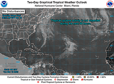
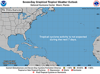
NOAA Graphical Forecast for the Atlantic
 Storm Tracker


ZCZC MIATWOAT ALL
TTAA00 KNHC DDHHMM
Tropical Weather Outlook
NWS National Hurricane Center Miami FL
700 PM EST Sun Nov 30 2025
For the North Atlantic...Caribbean Sea and the Gulf of America:
Tropical cyclone formation is not expected during the next 7 days.
This is the last regularly scheduled Tropical Weather Outlook of the
2025 Atlantic Hurricane Season. Routine issuance of the Tropical
Weather Outlook will resume on May 15, 2026. During the off-season,
Special Tropical Weather Outlooks will be issued as conditions
warrant.
$$
Forecaster Bucci
NNNN


