Web Content Display

Monitor

Citizens Highlights

Web Content Display (Global)

Monitor

Breadcrumb

Asset Publisher

During the annual Atlantic storm season, which runs June 1-November 30, Citizens monitors the weather forecast 24/7 for potential storms or storm effects. For the most up-to-date information, Citizens relies on the National Oceanic and Atmospheric Administration and its National Hurricane Center (NHC) for storm advisories and other storm-related information.

The National Hurricane Center’s tropical storm forecasts are developed by several agencies that work collaboratively to issue timely and informative reports. Citizens also uses a geographic information system (GIS) tool that incorporates data from NHC and helps track and forecast projected storm paths and wind and surge information so Citizens can be ready when a storm strikes Florida.

Know what to do if you need to evacuate. Citizens has partnered with the Florida Public Radio Emergency Network (FPREN) to bring you the latest news about catastrophic weather impacting your area. FPREN updates can be heard on your local public radio station and by downloading their free Florida Storms app from iTunes and Google Play.

Asset Publisher

National Hurricane Center

NOAA Logo
Storm Tracker
National Hurricane Center
NHC Atlantic Outlook
09/25/23 1:38 PM

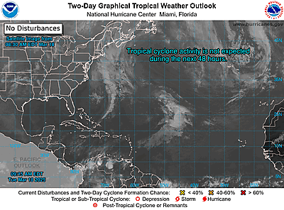
Atlantic 2-Day Graphical Outlook Image
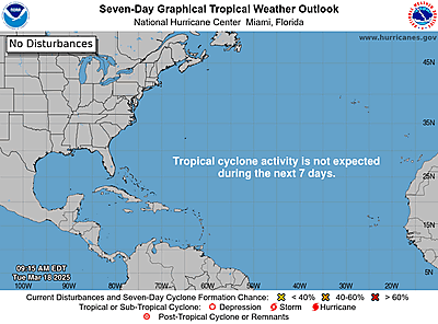
Atlantic 7-Day Graphical Outlook Image


ZCZC MIATWOAT ALL
TTAA00 KNHC DDHHMM

Tropical Weather Outlook
NWS National Hurricane Center Miami FL
200 PM EDT Mon Sep 25 2023

For the North Atlantic...Caribbean Sea and the Gulf of Mexico:

Active Systems:
The National Hurricane Center is issuing advisories on Tropical
Storm Philippe, located over the central tropical Atlantic.

1. Gulf of Mexico:
A trough of low pressure is producing limited shower activity over
portions of the eastern Gulf of Mexico. This disturbance is moving
westward into unfavorable environmental conditions, and development
is not expected.
* Formation chance through 48 hours...low...near 0 percent.
* Formation chance through 7 days...low...near 0 percent.

2. Eastern Tropical Atlantic (AL91):
A tropical wave located several hundred miles west-southwest of
the Cabo Verde Islands continues to produce disorganized showers
and thunderstorms. Environmental conditions are forecast to be
conducive for gradual development, and a tropical depression is
likely to form within the next few days as the system moves
west-northwestward across the central tropical Atlantic.
* Formation chance through 48 hours...medium...40 percent.
* Formation chance through 7 days...high...80 percent.

Forecaster Konarik/Cangialosi